Quad Projectile Point: Identification, Age & Range
Quad points are Transitional Paleo lanceolates (10,500-9,900 B.P.) from the Tennessee River Valley with flared ears wider than the blade.
At a glance
Period
10,500 - 9,900 B.P. · Transitional Paleo
Typical size
35–86 mm long, 17–35 mm wide
Region
This point is primarily found in the Tennessee River Valley.
The Quad is a Transitional Paleoindian point that turns up most often along the Tennessee River and its tributaries, where plowed bottomland fields have produced them for over a century. It takes its name from the Quad site in Limestone County, Alabama; Frank J. Soday described the fluted form in 1954, and Robert E. Bell defined the unfluted form in 1960. If you have found a broad, eared point with a hollowed-out base in northern Alabama or Tennessee, Quad should be one of the first names you check.
How to identify a Quad point
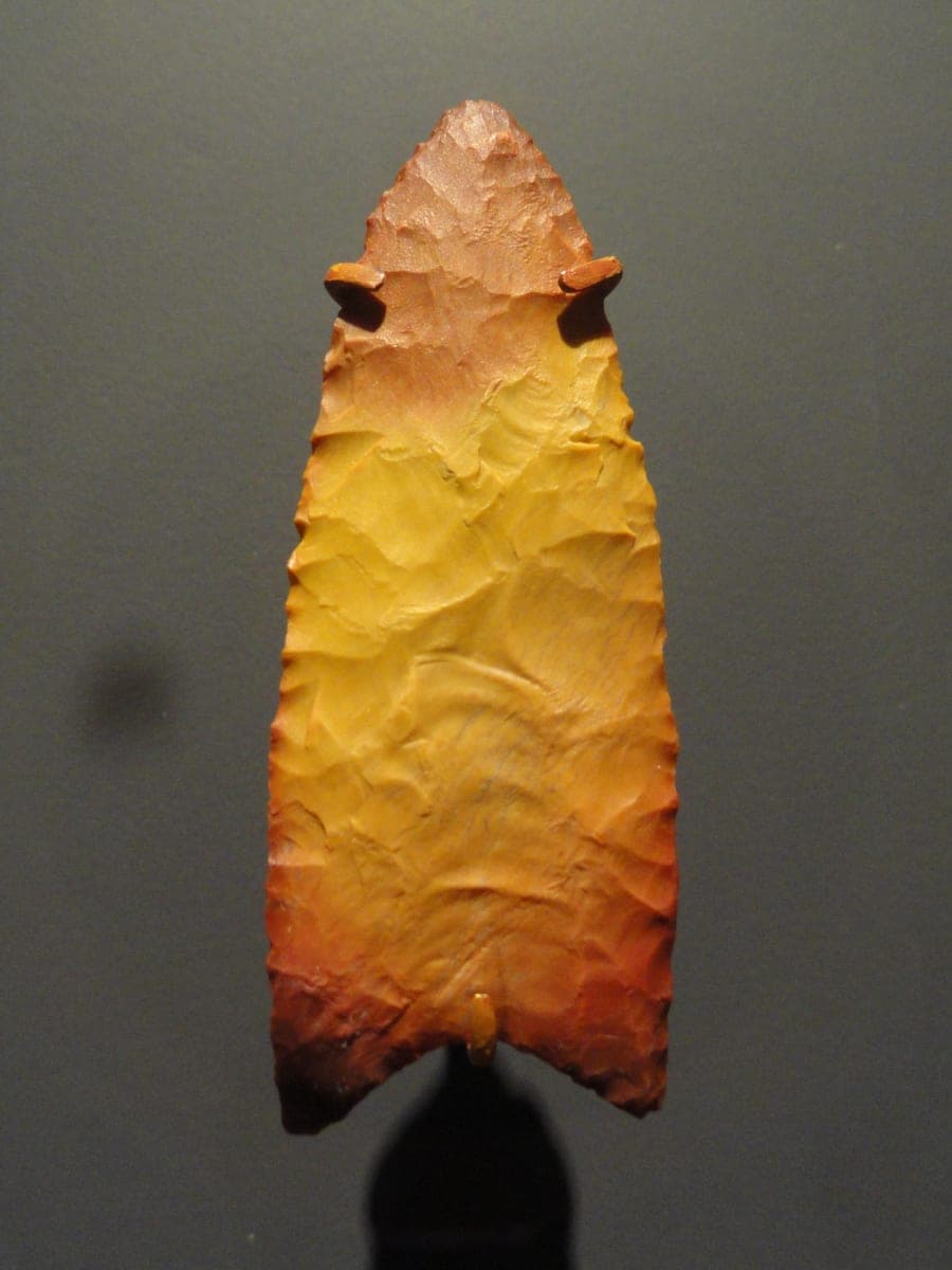
The single best diagnostic is where the point is widest. On a Quad, the base and its downward-flaring ears are the widest part of the whole piece — the blade above them is actually narrower. Look at the outline: the edges swell outward through the blade, then pinch in to a constricted waist at the hafting area before the ears flare back out. The base itself is concave, and it may show basal thinning or a short flute on one or both faces.
Run a finger along the bottom third of the point. Genuine examples are ground smooth along both lower edges and across the basal edge, a hafting treatment that dulls those margins noticeably compared with the sharp blade above. The cross section is flattened to thinly elliptical, and flaking ranges from random to neatly collateral.
Size-wise, Quads run 35 to 86 mm long — roughly the length of a house key up to a credit card's long side — with an average near 57 mm. Blade width is 17 to 35 mm, the basal width slightly greater at about 23 to 36 mm, and the basal concavity is typically 3 to 7 mm deep. Average thickness is only about 7 mm, so these are fairly thin points for their breadth.
Age and where it's found
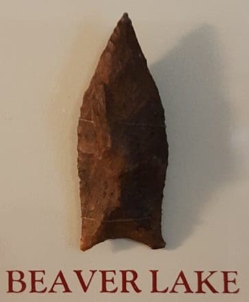
Quad points date to about 10,500 to 9,900 B.P., in the Transitional Paleo period spanning the end of the Pleistocene and the start of the Holocene. They belong to the Dalton cluster, and their exact place in the lineage is still debated: some researchers see Quad as a step between Clovis and Dalton, while others derive it from Simpson or Cumberland with Beaver Lake as its descendant.
Distribution centers tightly on the Tennessee River Valley. Quads appear with less frequency up into the Ohio River drainage, and only rarely as far as Iowa, Minnesota, and Wisconsin.
Think you found a Quad?
Upload a photo and our shape-matching AI will compare it against 1,000+ documented point types — with an honest read on how well it fits.
More type guides